
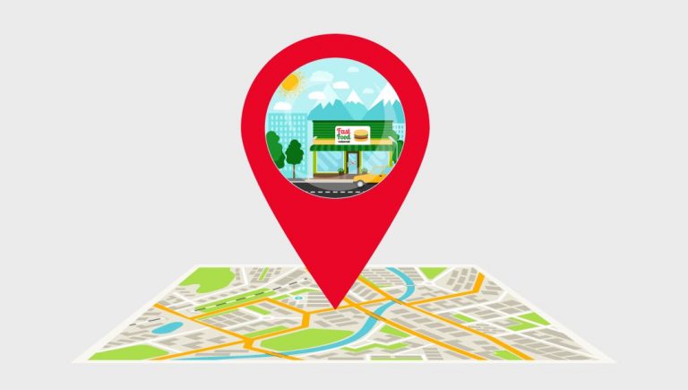
Geocoding
“The organizations focusing on location based businesses prefer the geocoded/geotagged data to analyse the places which sets the criteria of their success.We, at CollabTree are well experienced in Address Geocoding, Reverse Geocoding and Geotagging”
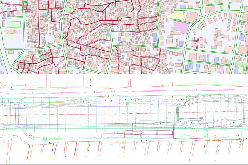
2D Drafting, Design and DataManagement
“We are well versed in simple hard copy to CAD conversion and further development into designing to latest industrial standards. ”
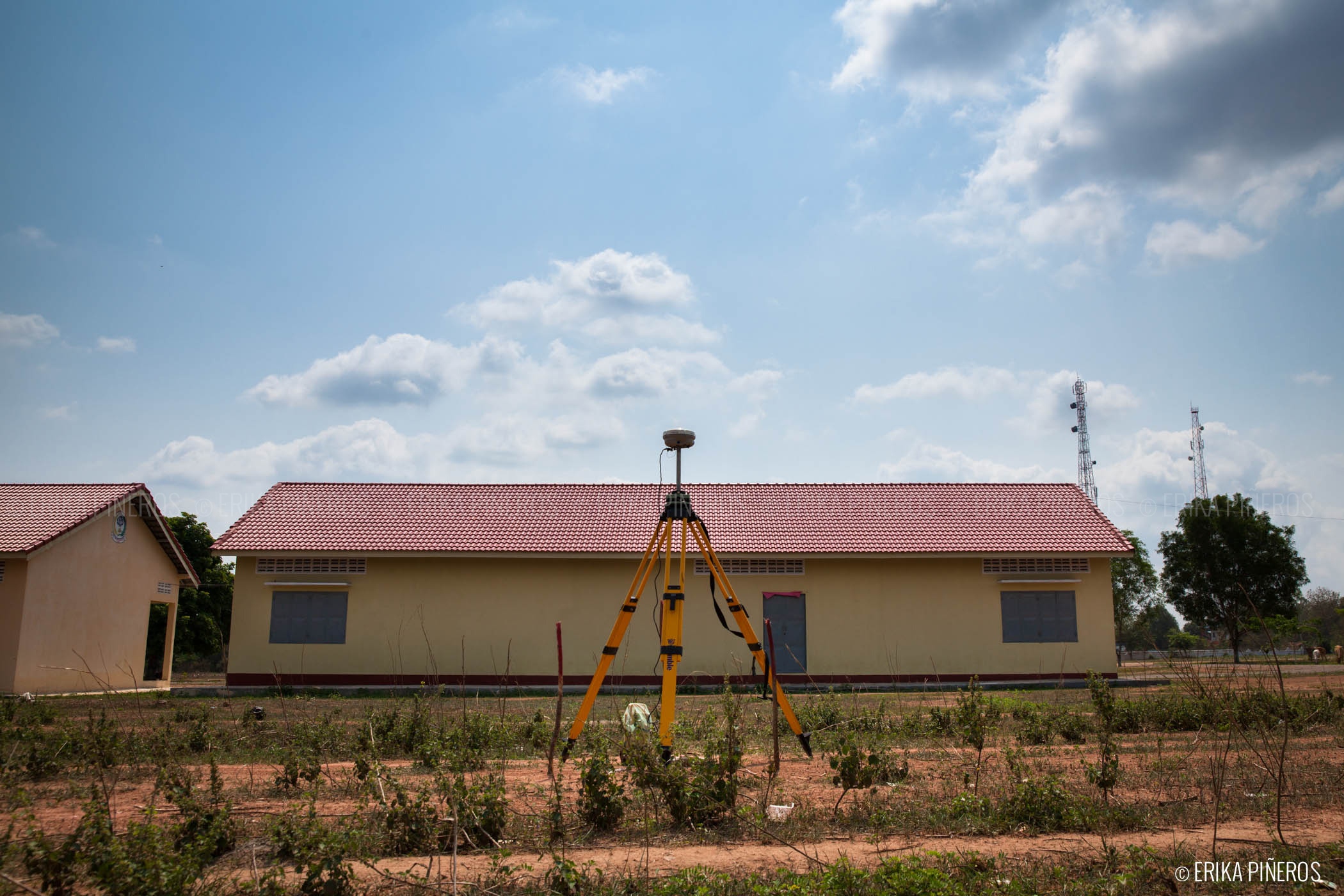
DGPS Survey
“Visualization through maps plays a vital role in Urban Planning, Utility Maintenance , Land- Use planning and Transportation. Kashyap GeoTech, provides the best DGPS survey, an accurate techniques to locate the global position of the features with enhanced accuracy.”
Drone Survey
“Drone Survey is the emerging technology to get the best quality data and better survey grade. Kashyap GeoTech is well experienced and professional in handling the drone survey to capture and process the data. We provide accurate, consistent and reliable data for our clients.”